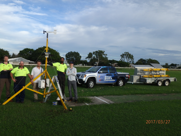

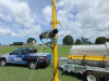
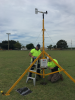
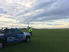
Severe Tropical Cyclone Debbie was a category 4 system that made landfall near Airlie Beach on the north Queensland coast at midday on the 28th of March, 2017. As part of a continuing effort to better characterize wind fields that impact communities during severe wind events, the Cyclone Testing Station (CTS), with collaborators from the Wind Research Laboratory at The University of Queensland, deployed SWIRLnet (Surface Weather Relay and Logging Network) weather stations to the region prior to Debbie’s landfall. Six SWIRLnet towers (3.2 m high anemometers placed in the communities likely to be affected) collected data continuously prior to, during and after landfall. Three towers were deployed in the Ayr/Home Hill region, two in Bowen and one in Proserpine. In addition, the CTS deployed two Campbell Scientific CCFC Outdoor Field Cameras to capture images throughout the cyclone event.
Throughout the cyclone event, six SWIRLnet stations, supplied by Campbell Scientific Australia, recorded 10Hz wind speed data using Campbell Scientific CR1000 dataloggers coupled with RM Young 05106 marine grade anemometers. Campbell Scientific CS215 temperature and relative humidity probes and Vaisala PTB110 barometric pressure sensors provided additional meteorological information, with 10-minute summaries of wind speed, temperature, relative humidity and pressure readings uploaded remotely via cellular connection during the cyclone.
A preliminary Severe Wind Hazard Assessment report released by the CTS was compiled within 48 hours of the cyclone event, from onsite and media sourced content by the engineering faculty and students at the Cyclone Testing Station (James Cook University), the University of Queensland and the University of Florida. The study compliments experimental research at these institutions seeking to
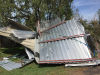
A subsequent Technical Report (CTS Technical Report No 63) released by the CTS used data collected from the SWIRLnet stations and CCFC cameras to assist with the overall damage assessment study. Data from the SWIRLnet stations revealed the presence of local upwind site effects at some locations where towers were deployed. Detailed analysis of the SWIRLnet data for turbulence, gust intensity and duration, and changes with different upwind terrain that occurred during the cyclone is continuing in order to better understand cyclonic wind characteristics in the built environment. CTS Technical Report No. 63 is available from the publications section of the CTS website: https://www.jcu.edu.au/__data/assets/pdf_file/0009/461178/TC-Debbie-report.pdf/_noproxycache.